Anadolu staff
17 March 2024•Update: 17 March 2024
ANKARA
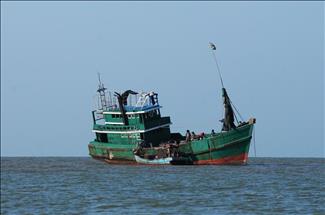
Tropical Cyclone Megan dumped massive precipitation off the northeastern coast of Australia's Northern Territory, expected to step up intensity to a category three system by Sunday evening.
Downpour has accompanied the tropical low to Groote Eylandt, an island off northern Australia, and caused power outages and flooding in Arnhem Land, public broadcaster ABC reported on Sunday, citing the country's Bureau of Meteorology.
The cyclone is currently in the Gulf of Carpentaria and is likely to make landfall on Monday night or Tuesday morning, before weakening.
Groote Eylandt is the largest island in the Gulf of Carpentaria, while Arnhem Land is home to the traditional landowners, the Yolngu people.
Formed in the Gulf of Carpentaria, near Groote Eylandt, on Saturday afternoon, Megan is bringing huge rainfall and gusty winds to the western side of the gulf.
The cyclone that strengthened to a category two system on Saturday evening, and is expected to make landfall as a category three late on Monday or early Tuesday morning between the Nathan River and the border between the Northern Territory and Queensland.
It is forecast to quickly lose strength as it moves west across the Northern Territory.
On Friday, residents in western Arnhem Land were evacuated due to rising floodwaters as heavy rainfall hit.