Goksel Yildirim and Emir Yildirim
23 October 2025•Update: 23 October 2025
ISTANBUL
Türkiye-based Sefine Shipyard’s solutions, developed by its Unmanned Systems Research Center (SISAM), were used to create the Common Operational Picture (COP) for a recent NATO event.
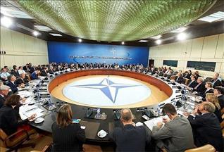
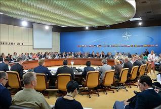
NATO’s Allied Command Transformation (ACT) concluded its 2025 Innovation Continuum with the Shared Platform for Innovative Solutions Evaluation (SHINE) event in Istanbul on Oct. 13–17.
The event, hosted by the Maritime Faculty of Istanbul Technical University, featured the offerings of 13 Turkish defense firms. Participants from the alliance tested the products within predefined scenarios.
Sefine Shipyard's SISAM center created a COP in which all allied, hostile, and neutral elements are displayed in real time in geographical, tactical, and temporal dimensions in the exercise command tent and distributed in real time via NATO's secure network.
The SISAM COP obtained data from floating, diving, and flying unmanned vehicles belonging to different countries, which was then fused and monitored from a single screen at the command center. SISAM encouraged the effective use of the STANAG 4817 standard, which is still being developed to enable interoperability by NATO.
The worldwide standard for multi-domain control of unmanned platforms was used for the first time in Türkiye at this event, which was supported by the country’s Defense Industry Agency (SSB).
SISAM COP, a capable part of the mission management system by Sefine Shipyard, was designed to provide a unified COP for NATO multi-domain operations by seamlessly connecting manned and unmanned naval platforms using fused sensor data.
Its core capability is to combine and correlate large amounts of data from various sources to create a single, clear picture to be shared among dispersed command centers.
It allows users to switch instantly between 2D and immersive 3D maps to gain a complete understanding of the environment while visualizing and managing thousands of real-time tracks via a PostGIS database connection.
The system automatically generates military symbology while ensuring interoperability via NATO standards for situational maritime awareness.
SISAM COP offers a comprehensive mission planning package, 2D/3D tactical drawing tools, precise geodetic measurements, and support for multiple joint operations grids, all of which can be managed via a modern user interface.