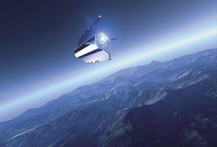
According to the State Administration of Science, Technology and Industry for National Defence (SASTIND), "Gaofen-1" has successfully completed eight months in orbit after being blasted off on April 26 and has sent high definition photos to Earth.
The satellite will help geographic and resource surveys, environment and climate change monitoring, disaster relief and city planning. The satellite will mostly be used by the land and resources, environment protecting and agriculture ministries.
SASTIND reported that, with Gaofen-1, China has become self-sufficient in terms of high definition earth observation data and begun a new era on remote sensing satellite technologies.
Gaofen-1 is the first of five remote sensing satellites to be launched by China before 2016. It is also the first low-orbit remote sensing satellite to be used in at least five years.
The satellite carries two 2m panchromatic and 8 meters of multi-spectral high definition cameras, which can photograph a car or a bicycle on earth.
China aims to launch Gaofen-2 in the first months of 2014.
englishnews@aa.com.tr