
Under the Airborne Geophysical Surveys Project, Turkey has scanned an area of about 570 thousand square kilometers out of 820 thousand square kilometers to create the country's first projection maps, Turkey’s energy minister announced on Monday.
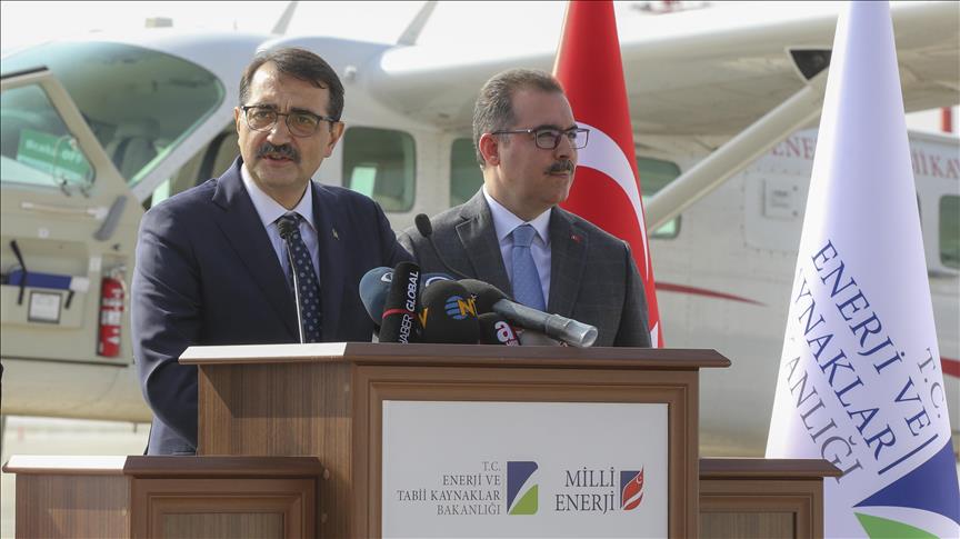
During the promotion of the Airborne Geophysical Survey Project at the General Aviation Terminal in Ankara, Energy and Natural Resources Minister Fatih Donmez said that the project was part of the 100-day action plan, which was launched in August, to scan 500 thousand square kilometers of land to identify areas with the aim of conducting mineral exploration and drilling.
"When the project is completed, we will be among the top eight countries in the world in the airborne geophysical survey sector," he said.
He explained that using conventional data collection methods, it would take two teams 250 years to collate, or approximately 100 times longer using 29 times more economic resources. However, the new technology, which involves a total of over 500 hours of flight by two aircraft, has ensured that more than half of Turkey's first phase measurements have been completed since December.
By the end of the year, 700 thousand square kilometers will be scanned, Donmez said.
Reporting by Murat Temizer
Writing by Firdevs Yuksel
Anadolu Agency
energy@aa.com.tr